


Overland from Delhi via Manali to Leh
2 Routes with Endless Possibilities
Stand: Autumn 2026
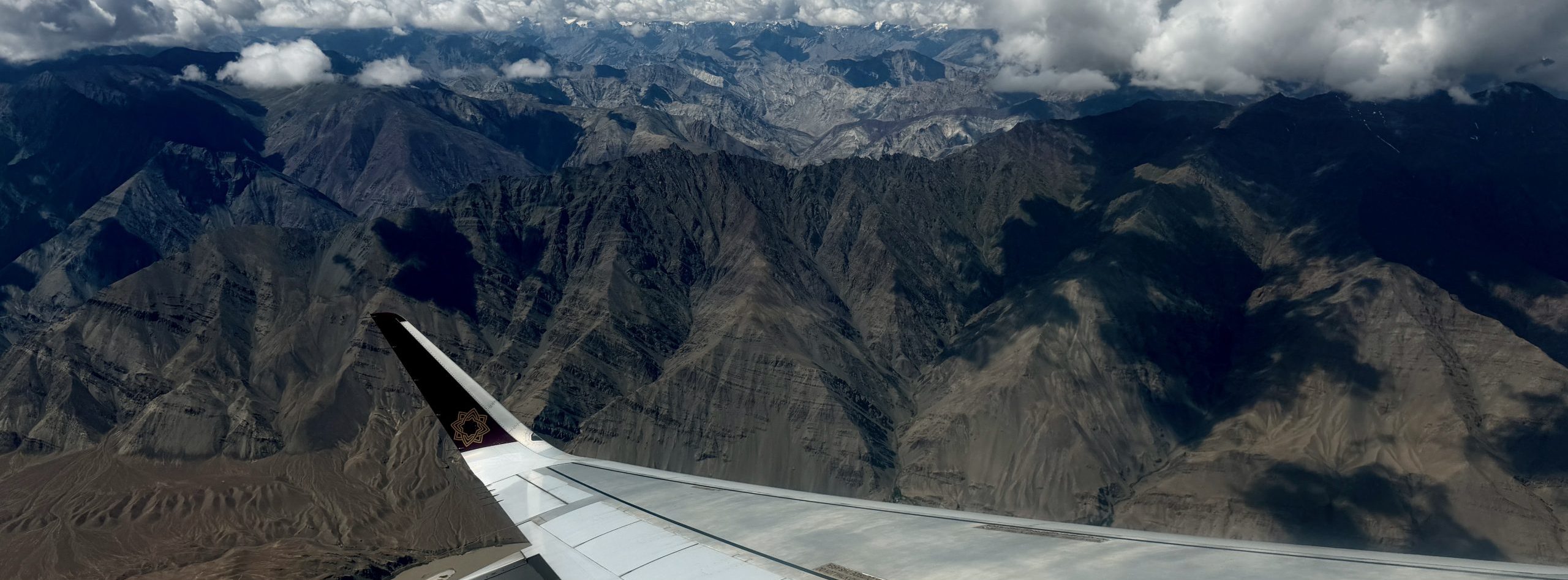
Yes, you can easily fly from Delhi to Leh. That is also a great idea if you are visiting for the first time and prefer to spend your travel time more concentrated in a single region. And for the sake of completeness: you can also drive the route virtually in one go using a basic HRTC bus (no Volvo with reclining seats) from Delhi Kashmere Gate, with a (self-paid) overnight stop in Keylong, heading directly to Leh in over 30 hours for a mere 20 Euros. We would also like to mention that you can cover these routes using your own car, a motorcycle, or a bicycle. However, this article focuses purely on public transport or private/shared taxis.
For a second trip—or if you have more time—taking the overland route is highly recommended. The roughly 1,000 km journey is so diverse that it is well worth setting aside extra time for it. Here, we focus on the route via Manali (Srinagar is of course another option), which offers two main possibilities:
1. via the new Darcha-Padum-Nimmu Highway
2. via the traditional Manali-Leh Highway
| Route | km | Pure Driving Time | Passes | Open (Usually) |
| Delhi – Manali – Leh Highway | 930 km | 19 hrs | Baralacha-la 4,890 m Nakee-la 4,750 m Lachalung-la 5,060 m Taglang-la 5,317 m |
End of May to end of October |
| Delhi – Manali – Darcha – Padum – Nimmu – Leh | 950 km | 17 hrs | Shinkun-la 5,040 m | End of April to November |
We break down the journey step by step. First, the section from Delhi to Manali, which is identical for both options.
Delhi – Manali
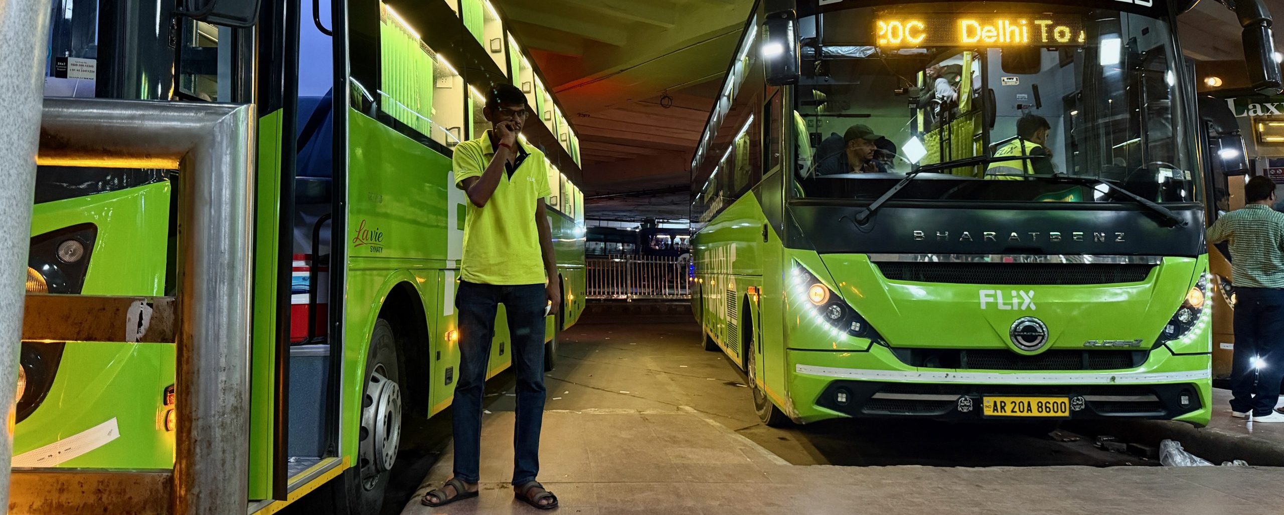
This stretch can be done via:
- Overnight bus (A/C Volvo, comfortable seats, clean; personal favorite: Flixbus)
- Private car with driver
- Combination of train/car/bus
After Delhi, the first interesting stopover possibility is:
Chandigarh
Delhi – Chandigarh: 250 km
Chandigarh is still located in the plains (offering a first view of the foothills of the Himalayas) and is a charming city featuring several attractions: Rock Garden, Le Corbusier architecture, Rose Garden, Sukhna Lake…
You can reach Chandigarh from Delhi in the following ways:
- by Vande Bharat train (5:50 AM – 8:38 AM) – or another train service
- by comfortable local bus running every 30–60 mins (no reservation required) in 4.5 – 5.5 hrs
- by taxi (travel time depending on the time of day/traffic)
- by plane with a flight via the Middle East or connecting in Delhi
From Chandigarh, you can continue directly (or after an overnight stay) to the next stop:
Rewalsar
Chandigarh – Rewalsar: 170 km
Rewalsar is a sacred pilgrimage site in Himachal Pradesh surrounded by forested mountains, famous for its circular lake and significant Buddhist monasteries. If Buddhism is an important aspect of your journey, this would be your first connection point.
Rewalsar involves a small detour on the way via Mandi to Manali and can be reached by car in 4 hours.
Continuing further into the mountains, we reach the:
Kullu Valley
The Kullu Valley is vast, offering several towns for overnight stays or quick stops. We introduce only the most famous places here—however, there are many more options around and beyond them. You can find more detailed information on our website under the destination section “Himachal Pradesh”.
Kullu
Chandigarh – Kullu: 200 km
Rewalsar – Kullu: 90 km
Kullu, the main town of the valley, sits at an altitude of around 1,300 m. An overnight stay is worth considering to visit the prominent, high-perched Bijli Mahadev Temple (a 1-hour walk from the end of the road) or for further hikes into the surrounding mountains and valleys.
Numerous buses run from Chandigarh in 5–6 hours—or you can hire a private taxi.
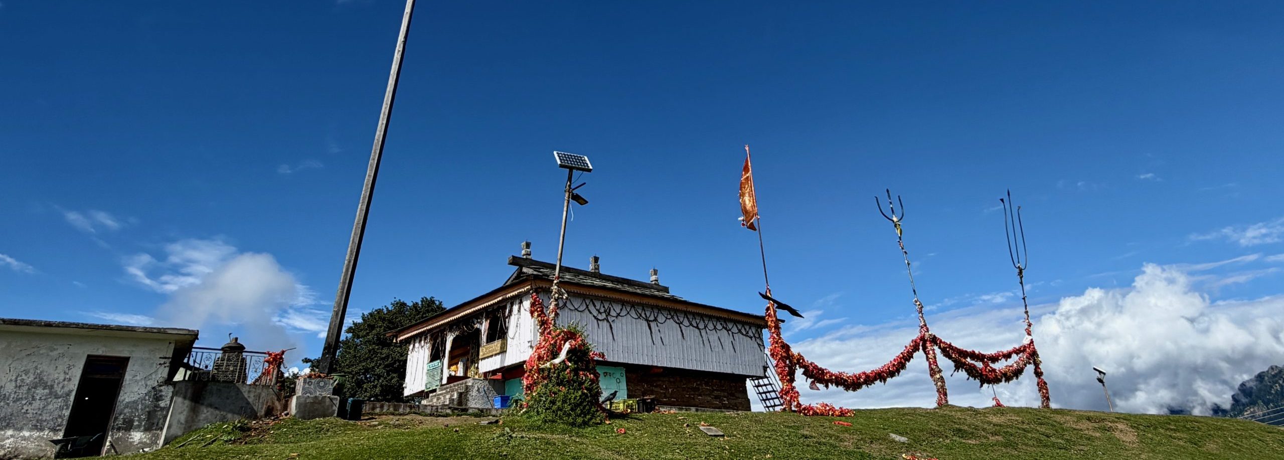
From Kullu, you can reach Manali following either the left or right bank of the Beas River. On the right bank lies:
Naggar
Also a great idea for a stopover—especially if Manali feels too crowded for you, or even as an alternative to staying in Kullu.
Kullu -> Naggar: 25 km
In Naggar, you will find an ancient castle with a museum to visit (or stay overnight in), the Nicolas Roerich Art Gallery with its accompanying museum, as well as a scenic hike via Rumsu to the Krishna Temple.
Reachable from Kullu by bus or taxi.
The main tourist hub in the Kullu Valley is:
Manali
Naggar -> Manali: 20 km
Most travelers stay overnight in Manali. This is where the long-distance buses from Delhi terminate, and where ongoing transport options heading north begin. Furthermore, it serves as a convenient starting point (also via local buses) for various hiking routes and sightseeing spots. In theory, you could spend a lot of time here at around 1,800 m exploring the beautiful mountain scenery. The main drawback: especially during the peak tourist season from April to June, it gets very crowded with domestic holidaymakers. But as with many places, if you step off the main path, you can still have many wonderful experiences.
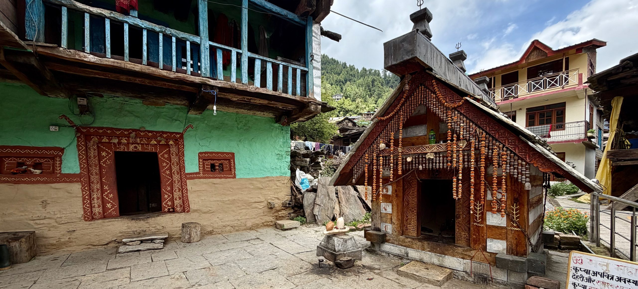
This is the point where you must decide on your onward route—even though part of the upcoming stretch is still shared.
Manali – Leh Highway
From here begins the legendary Manali-Leh Highway, a road connection completed in 1989. Back then, vehicles crawled up dirt tracks across the passes—today, you glide smoothly over mostly well-paved asphalt. Thanks to the Atal Tunnel (bypassing the Rohtang Pass), travel time has been dramatically reduced—and year-round access to the Lahaul region is now possible. This tunnel not only cuts down travel time, but also acts as a weather divide and religious borderland: while clouds often rain down in Manali, it becomes noticeably drier on the other side. Here, Hinduism exists hand in hand with Buddhism.
This route can be traveled via:
- Shared Taxi
- Private Taxi
- Local Bus
- Combination of the above
Particularly in the well-populated section up to Darcha, there are multiple stopover options. These are great for better altitude acclimatization—as well as for gaining insights into the region’s history (which historically relied heavily on trade) and enjoying the magnificent landscapes.
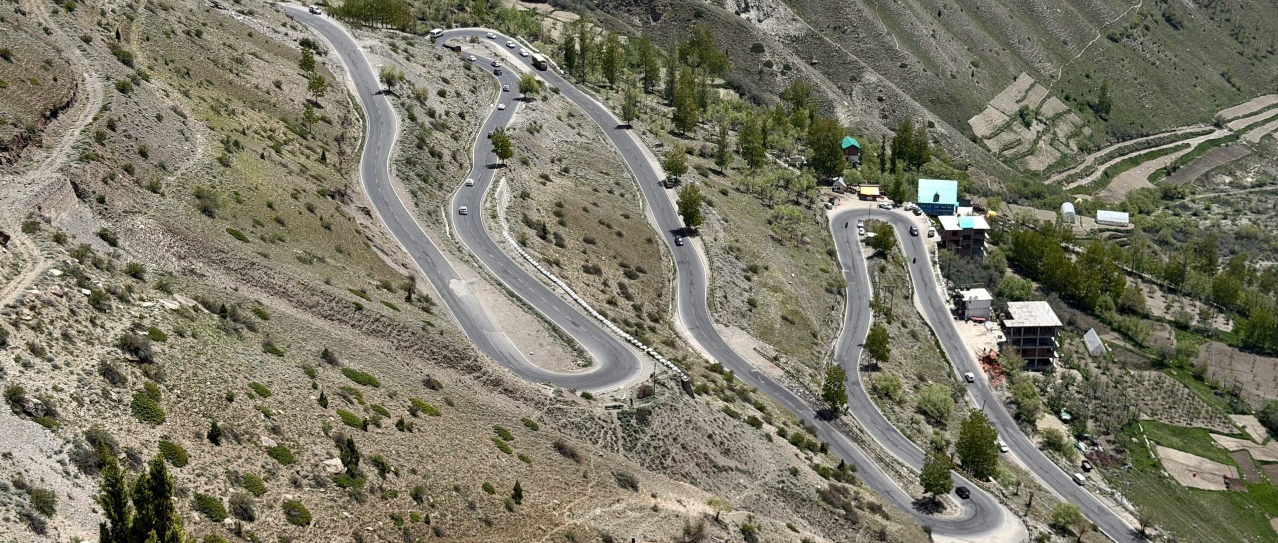
Sissu/Gondhla
Located just about 50 km north of Manali, both villages offer great accommodation options as well as short hiking and sightseeing opportunities at just over 3,100 m altitude. You will definitely feel the elevation here. These communities are rooted in agriculture and do not rely solely on tourism. A local bus service runs between Manali and Keylong several times a day, allowing you to hop off along the route and resume your journey on a later day.
Detour: Triloknath / Udaipur / Miyar Valley
From the next village, Tandi, a road leads all the way toward the Jammu & Kashmir region. The beginning of this stretch is particularly interesting, featuring a temple equally revered by Hindus and Buddhists in Triloknath, an intricately carved wooden temple in Udaipur, and the stunning Miyar Valley, accessible via a side road. It is 70 km from Tandi to the end of the road in Miyar Valley. While this can be done in a single day, taking at least 2 days is far more rewarding if time permits.
Keylong
Gondhla -> Keylong: 15 km
The drive to the district headquarters is short. Keylong has retained its small-town charm with relatively little commercial tourism, offering plenty of excursion and hiking options. This is the terminus for the local bus from Manali.
Jispa
Just 22 km further lies the primary tourist hub for domestic travelers. What was once a tiny hamlet now features more guest accommodations than private residences. Travelers who do not plan to continue to Leh or Zanskar use Jispa as a base for day trips to Shinkun-la or Baralacha-la to stand atop a high mountain pass and see snow early in the season. We generally recommend bypassing this town.
Darcha
Another 10 km down the road is Darcha, a popular spot for meal stops. This is where the road splits—you either continue along the main highway to Leh or turn off toward Zanskar. From this point onward, the terrain becomes increasingly remote (with no permanent villages for long stretches) and noticeably drier. If you plan to board a shared taxi from here or any previous stop, you will generally need to pay the fare from Manali (or negotiate a better price with a driver who has vacant seats).
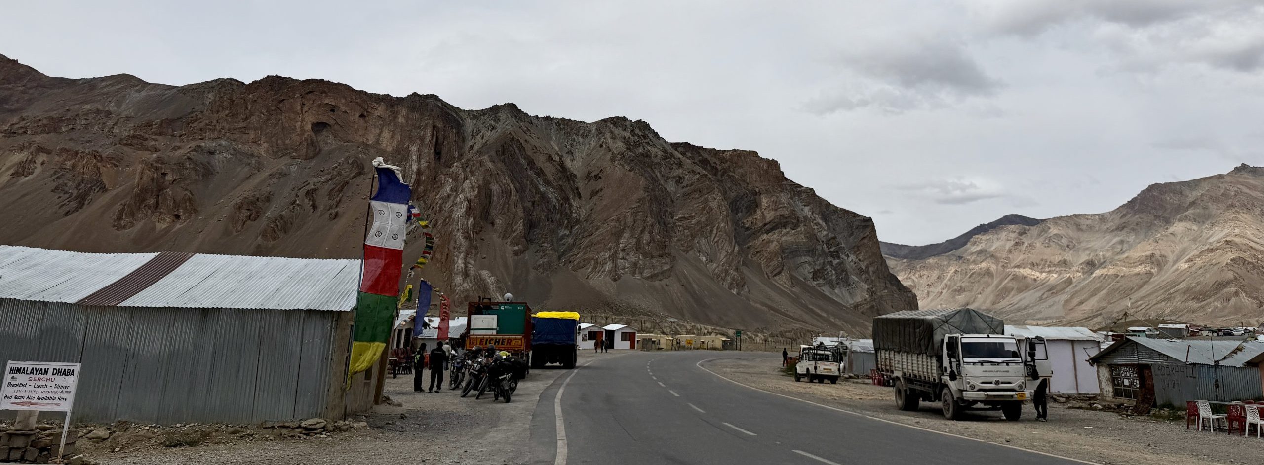
Sarchu
Darcha -> Sarchu: 75 km
In the past, when travel times were much longer, Sarchu served as an essential overnight stop. Several seasonal tented camps operate here at an elevation of 4,200 m, alongside roadside dhabas offering basic shelter. With modern road improvements and shortened driving times, overnighting here is less common, though options remain available (popular among motorcyclists and cyclists). Sarchu remains a convenient place to stop for tea or lunch.
Pang
Sarchu -> Pang: 77 km
At 4,750 m, this is the highest candidate for an intermediate stop. Having traveled above 4,000 m for a while, you will likely feel the effects of the high altitude quite clearly. However, the dramatic landscape makes a short tea break very worthwhile. Basic sleeping quarters are available if needed, as well as an Indian Army post equipped to assist with medical emergencies.
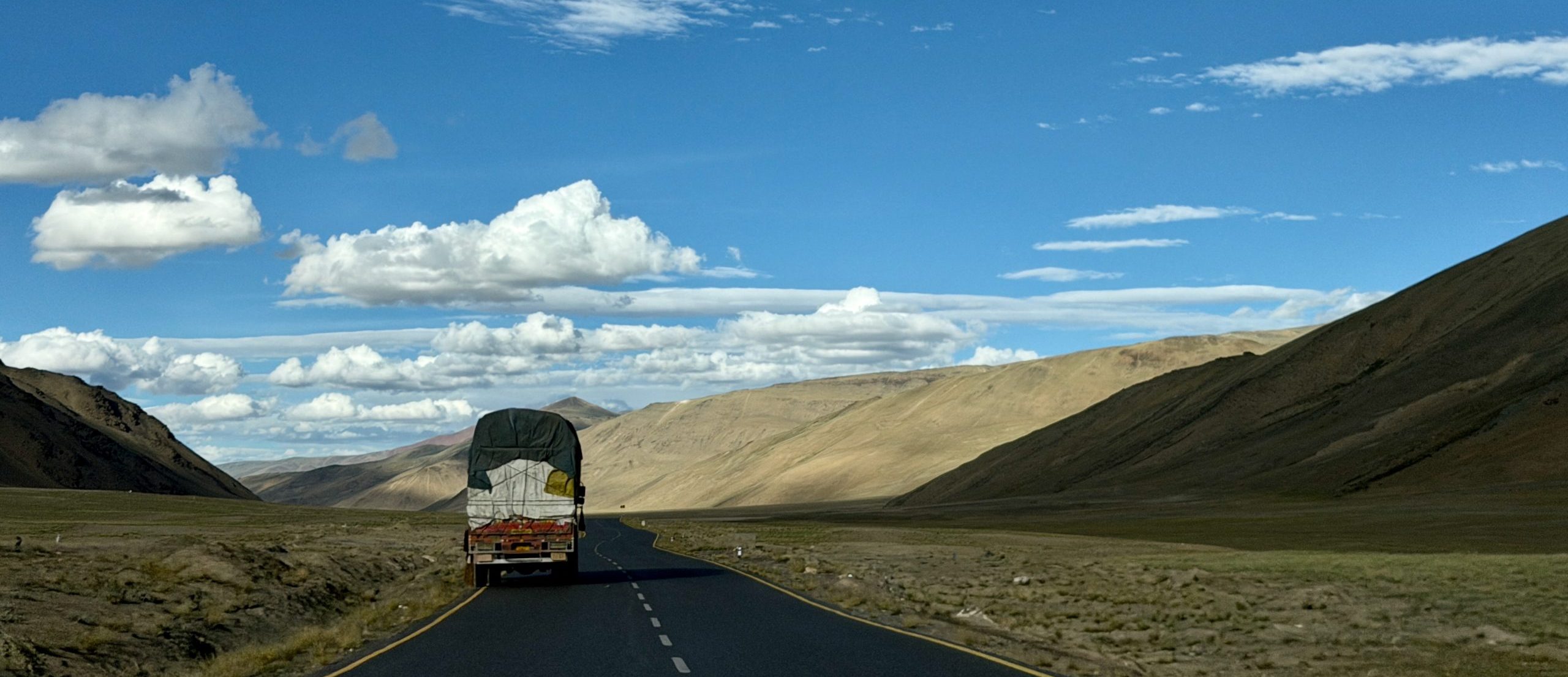
Tso Kar Lake
Continuing across the More Plains, a detour to Tso Kar Lake is technically possible. However, sitting at 4,530 m, it is usually too early in your altitude journey—even with proper acclimatization in Lahaul—to fully enjoy staying at this height. Moreover, Tso Kar deserves far more time than a quick roadside detour on the way to Leh.
Indus Valley
Pang -> Leh: 175 km
Passing through villages such as Rumtse, Gya, Lato, and Meru, you eventually reach Upshi and descend into the lower Indus Valley at 3,400 m. The time spent at extreme altitudes up to this point makes for one of the most mesmerizing road journeys in the world, as well as a physical challenge. In a private taxi, your travel time typically extends due to frequent photo stops—opportunities you won’t have in a shared taxi or public bus.
Conclusion
Due to the extended time spent at high altitudes and the numerous mountain passes crossed, this route is physically demanding—yet it stands as one of the most spectacular highways in the Indian Himalayas. Between Darcha and Rumtse, across a stretch of 250 km, there are no permanently inhabited villages, only diverse, arid rock formations. It is a fascinating, deeply rewarding journey. While major infrastructure upgrades have removed much of the historic hardship, it should never be taken lightly. We strongly advise spending several days between Manali and Darcha beforehand to enhance your enjoyment and gain a deeper appreciation for life in this remote corner of India.
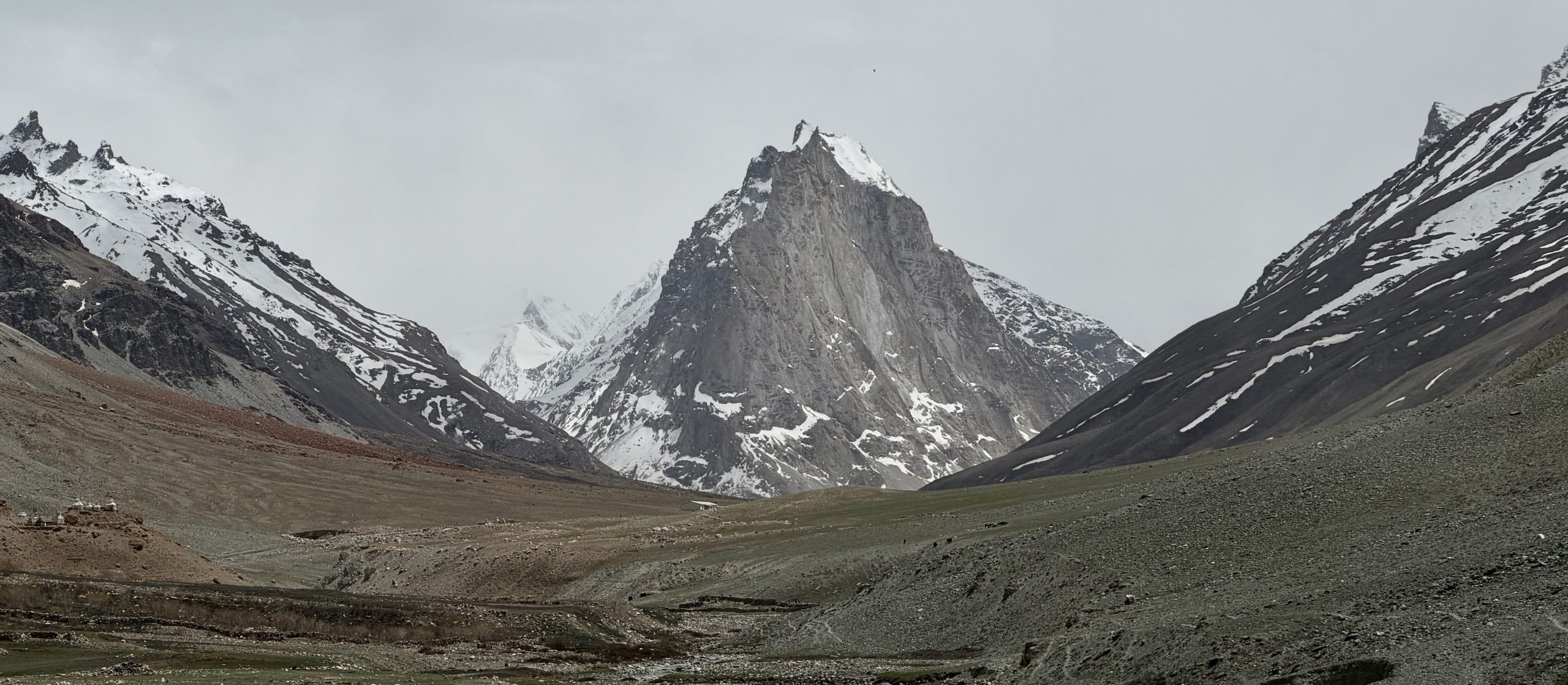
Manali – Darcha – Padum – Nimmu – Leh
This route definitely needs to be traveled in multiple stages—there is no direct single-seat public transport service (unless you hire a private taxi). However, rushing through would miss the point entirely.
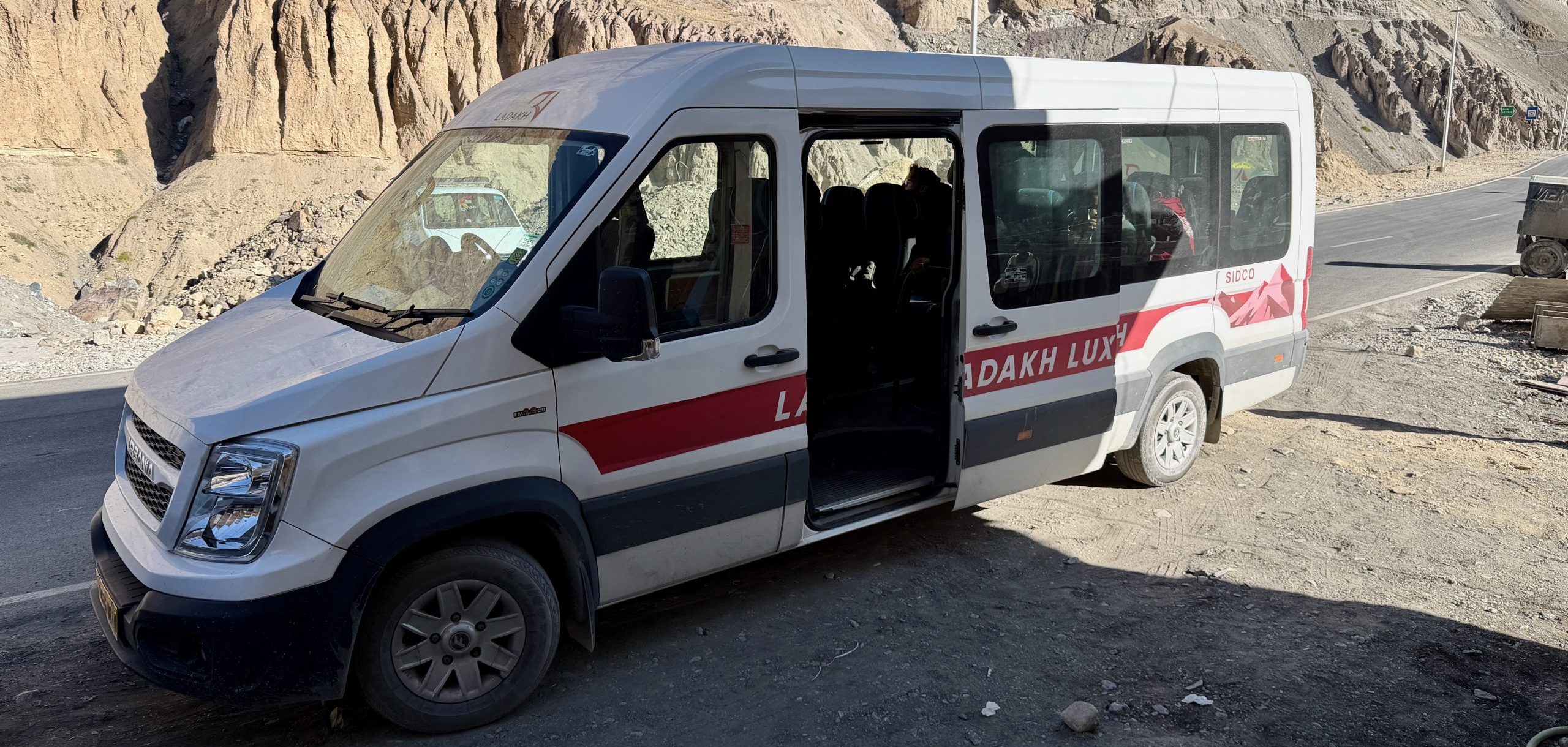
Shared taxis operate from Manali to Padum, and similarly from Padum to Leh—alongside a newly introduced minibus service. Private taxis are of course also available.
The segment from Manali to Darcha has been detailed in the previous section. From Darcha, the road climbs over the Shinkun-la pass toward the first major landmark:
Gonbo Rangjon
Darcha -> Gonbo Rangjon: 52 km
Gonbo Rangjon is a uniquely striking and sacred mountain monolith. At its base, several campsite operations allow travelers to stay overnight and take in the awe-inspiring views.
Phuktal Gompa
Gonbo Rangjon -> Purne: 34 km
Shortly thereafter, nestled in a side valley, lies the most dramatically situated monastery in the entire region. For overnight accommodation, it is best to stay in Purne, where several guesthouses are available, and then drive the short distance to Yugar, from where a hiking trail climbs up to the monastery.
Padum
Purne -> Padum: 53 km
Padum is the administrative center of Zanskar at approximately 3,600 m altitude—not particularly scenic in itself, but practical as a central base with various lodging options. From here, you can easily undertake excursions all across Zanskar. However, there is no local public bus network; you will need to rely on local taxis (or your own transport). Setting aside several days to explore Zanskar is highly recommended. Even on a tight schedule, spending at least a short time here is a must. From Padum, it is not far to Leh.
Those wishing to press on directly to Leh can board the local minibus or a shared taxi from here.
Zangla
Padum -> Zangla: 30 km
Along this stretch lie several villages well worth visiting—such as Pibiting, Stongde, Kumik, Tsazar, and Zangla—where you can stay overnight if you haven’t already visited them from Padum. Zangla, home to its ancient palace, is the last major settlement before leaving the Padum Valley and entering the remote wilderness.
Nimmu
Zangla -> Nimmu: 120 km
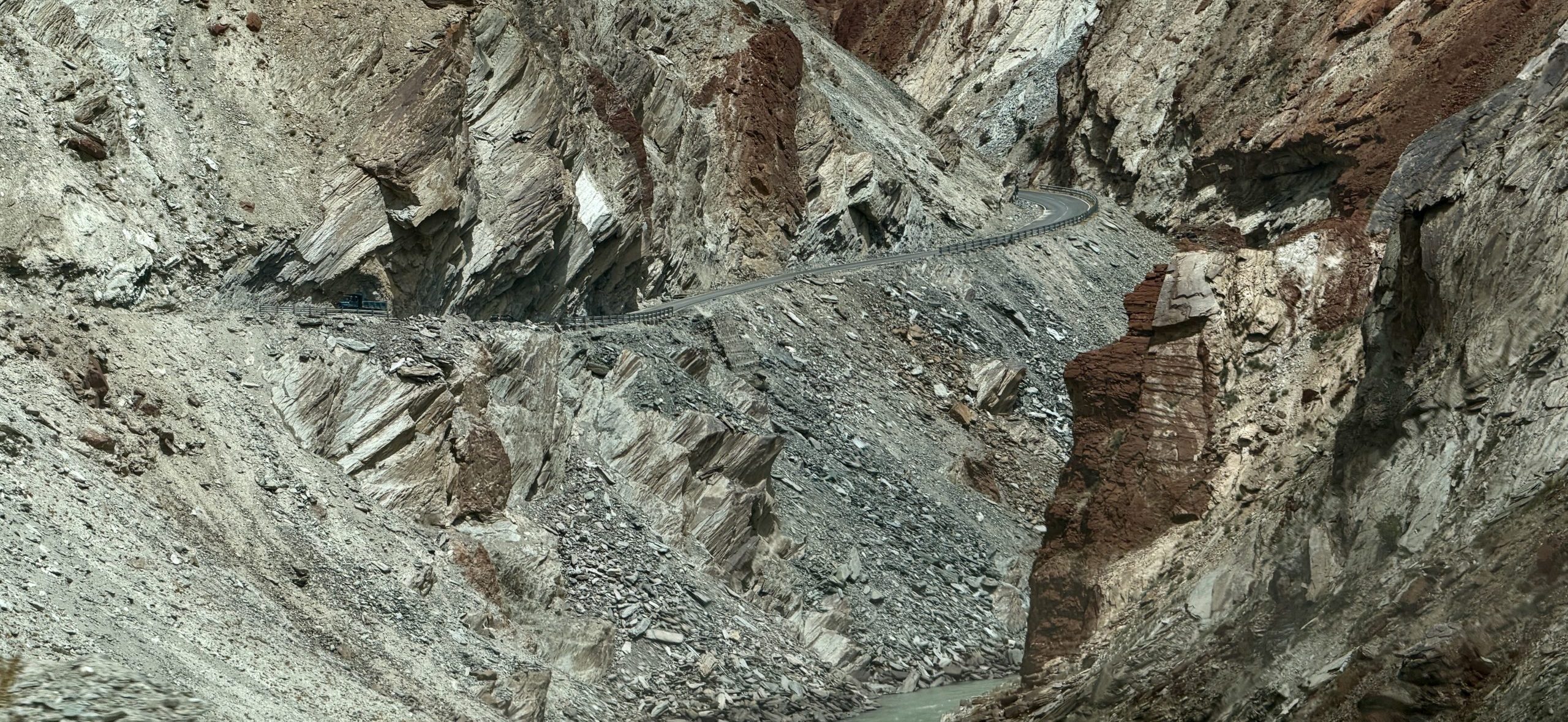
From Zangla, the newly constructed road (officially opened in 2026) follows the Zanskar River all the way to Nimmu, where it meets the Indus River. The surrounding landscape is barren and uninhabited—except for the tiny hamlet of Neraks, which offers a tea/meal stop. A side road branches off from here toward Lingshed—providing an alternative gateway into Ladakh. Crossing the Singge-la and Sirsir-la passes leads you to Wanla and onto the main Leh-Kargil Highway. This is a breathtaking route if you wish to visit Lamayuru, for example. The network of motorable roads cutting through these arid mountains continues to expand. Near Chilling, traffic increases as you encounter rafting tourists and trekkers heading to the Markha Valley. By the time you reach Nimmu, the tranquil seclusion gives way to the main highway through the Indus Valley. If you wish, you can make an overnight stop here before reaching the capital, Leh.
Conclusion
Since this route crosses only one pass over 5,000 m, it is significantly gentler on the body in terms of altitude acclimatization. Because you travel through an entire distinct region—Zanskar—you should plan considerably more time than for the traditional Manali-Leh Highway. Anyone familiar with this area from earlier years will be amazed at the high-quality roads constructed in recent years, which have brought rapid development to Zanskar. It remains to be seen whether it will evolve into another major tourist hotspot like Manali or Leh.
Both routes are immensely rewarding. You can choose one that best fits your itinerary—or budget enough time for a round trip taking one route up and the other back. Alternatively, you can always return for another journey!
As outlined above, these routes can easily be traveled independently. However, if you prefer expert guidance, added comfort, and peace of mind without worrying about logistics along the way, book with us! Click here for our Travel Inquiry Form.
For further information about the featured regions, visit: